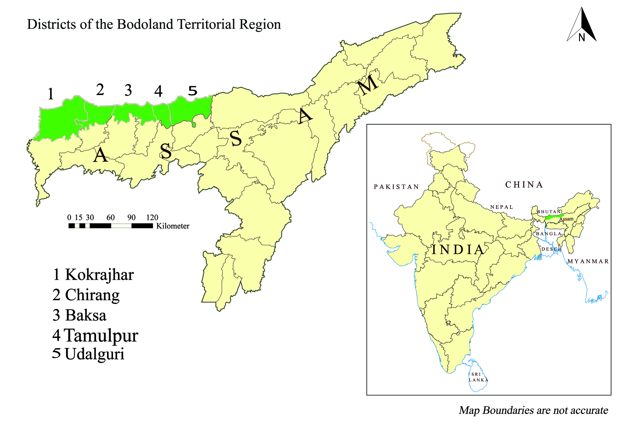
Districts of BTR
Facts About BTR
KOKRAJHAR District
Kokrajhar town is the headquarter of Bodoland Territorial Council, created on 10th February.
Total Area: 3,169.22 sq KM
Population: 8,86,999
Development Blocks: 11
Panchayats (VCDCs): 134
Villages: 3,079
Literacy: 71.62 %
Chirang District
The district started functioning with effect from 4th june, 2004 with its head quarter at Kajalgaon.
Total Area: 1468.42 sq KM
Population: 482,162
Development Blocks: 3
Panchayats (VCDCs): 62
Villages: 496
Literacy: 63.55 %
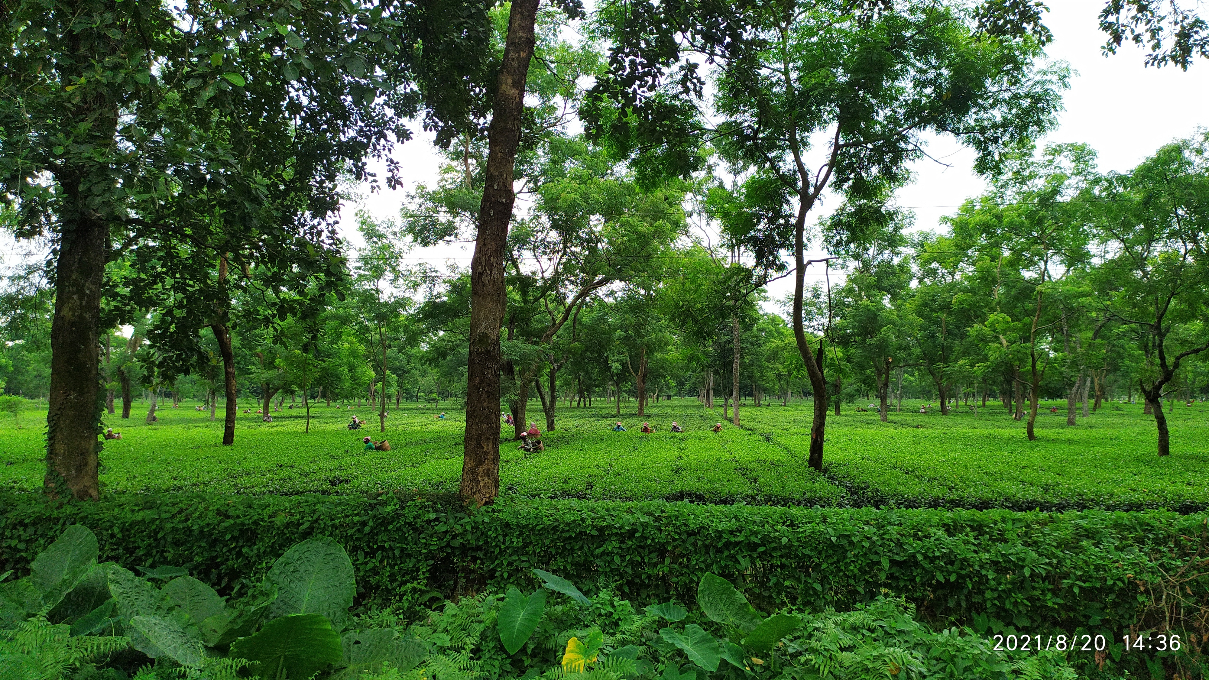
Baksa District
Baksa district is located in the north-western part of Assam with the district headquarter at Mushalpur, which is 105 Km away from state capital Dispur,
Total Area: 2400 sq KM
Population: 9.53773 Lakhs
Development Blocks: 'N/A'
Panchayats (VCDCs): 62
Villages: 384
Literacy: 'N/A' %
Udalguri District
This district was formed on June 14, 2004 as one of the four districts under the Bodoland Territorial Council. This district was carved out by bifurcating Darrang district.
Total Area: 1,985.68 sq KM
Population: 831,668
Development Blocks: 11
Panchayats (VCDCs): 'N/A'
Villages: 'N/A'
Literacy: 74 %
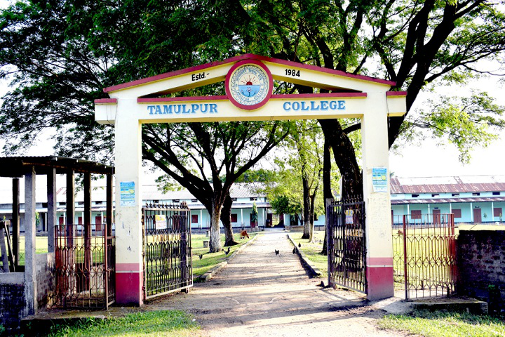
Tamulpur District
In 2021, the Cabinet of Assam, headed by Chief Minister Himanta Biswa Sarma, approved the proposal to make Tamulpur a full-fledged district. On 23 January 2022 Tamulpur was formally created. Last ADC I/C Tamulpur was Dr. Bedanga Talukdar, ACS.
Total Area: 884 km2 sq KM
Population: 389,150
Development Blocks: 'N/A'
Panchayats (VCDCs): 'N/A'
Villages: 'N/A'
Literacy: 'N/A' %